Palsgaard Gods Logo 2022 Sort Tekst Hvid Baggrund Website

BEHIND PALSGAARD ESTATE

A journey through time through landscape and history

At Palsgaard, you are in the middle of a 12,000-year-old landscape from the Ice Age. At the top of the hill, the first Palsgaard was built in 1412 as a fortress castle with a good view of the area.

Hills and valleys are traces of the Ice Age

When a glacier glides across the terrain, it pushes the soil up, leaving behind a landscape of hills, small lakes and gorges with meltwater from the ice. Palsgaard is located in the middle of such a beautiful and varied moraine landscape from the Weichel Ice Age.

The first castle was burned by the king

In the Middle Ages, the castle As Møllegaard was built in the lush landscape with easy access to the sea roads. We can date the castle's ramparts back to 1270-1300.  

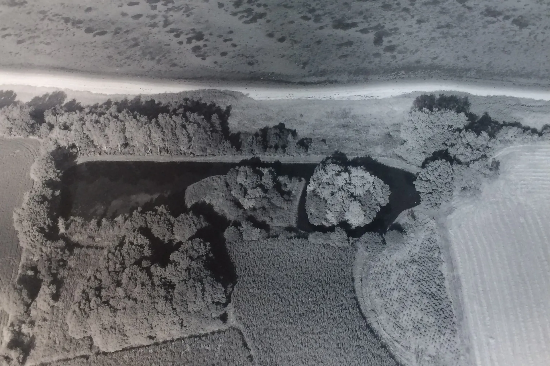
Already around the year 1340, Valdemar Atterdag ordered the castle to be burned down and demolished. In excavations, archaeologists have found large lumps of molten iron and monk stones with traces of fire. Today, the moat is still visible, but the remains of the castle's ramparts are well hidden in the trees.

Palsgaard as a fortress fortress

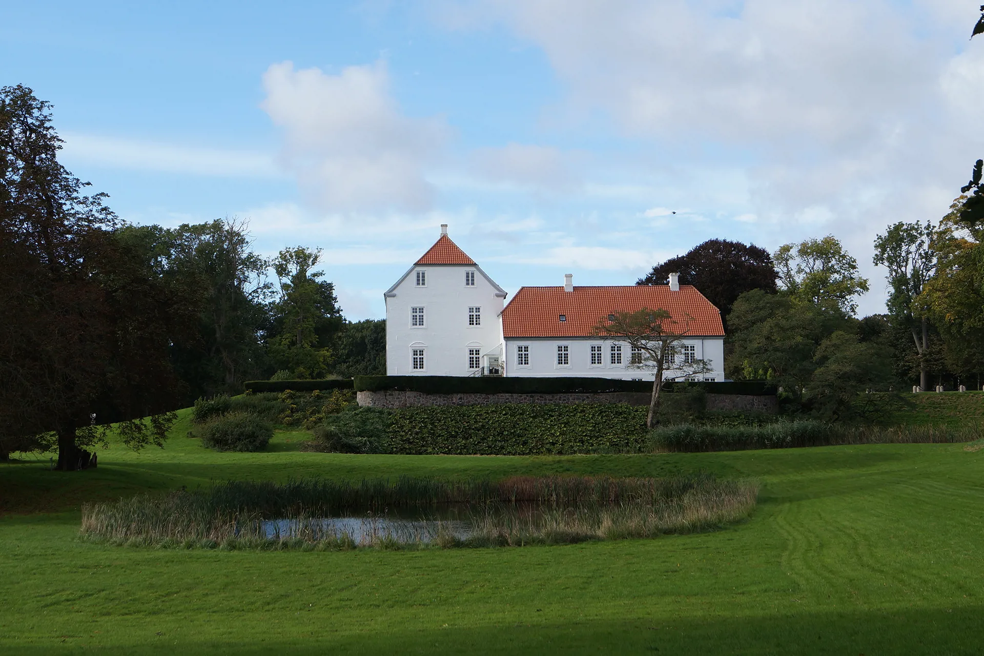
The current Palsgaard was built in 1412. Palsgaard was a fortress castle that was built strategically on a six-metre-high hill right on the coast. Here it was easy to spot enemies on land and at sea.

The vaulted cellars and first floor of the main building are still bricks from the fortress castle. In the 1700s, the castle changed function from fortress to residence. The main building was rebuilt to its present appearance and the moat was thrown in.

Seabed became farmland

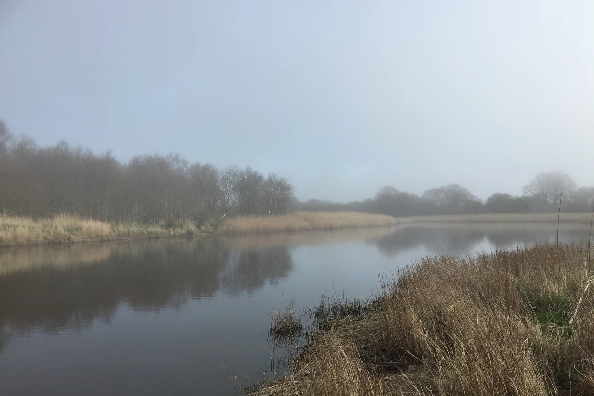
From parts of the castle park you have a view of the flat area "Haabet". "Haabet" was originally a secluded sea bay, which was under water until 1883. After the loss of Southern Jutland in 1864, projects were launched all over the country to increase food production under the proverb "What is lost outwardly must be gained inwardly".

At Palsgaard, a dike was built, and with pumping stations, the water was sent into the sea.

This is how 100 hectares of wet and swampy area were drained and turned into farmland. In the beginning, the area was used for grazing and hay, but when the pumps switched from wind power to electricity, it became possible to cultivate the area.

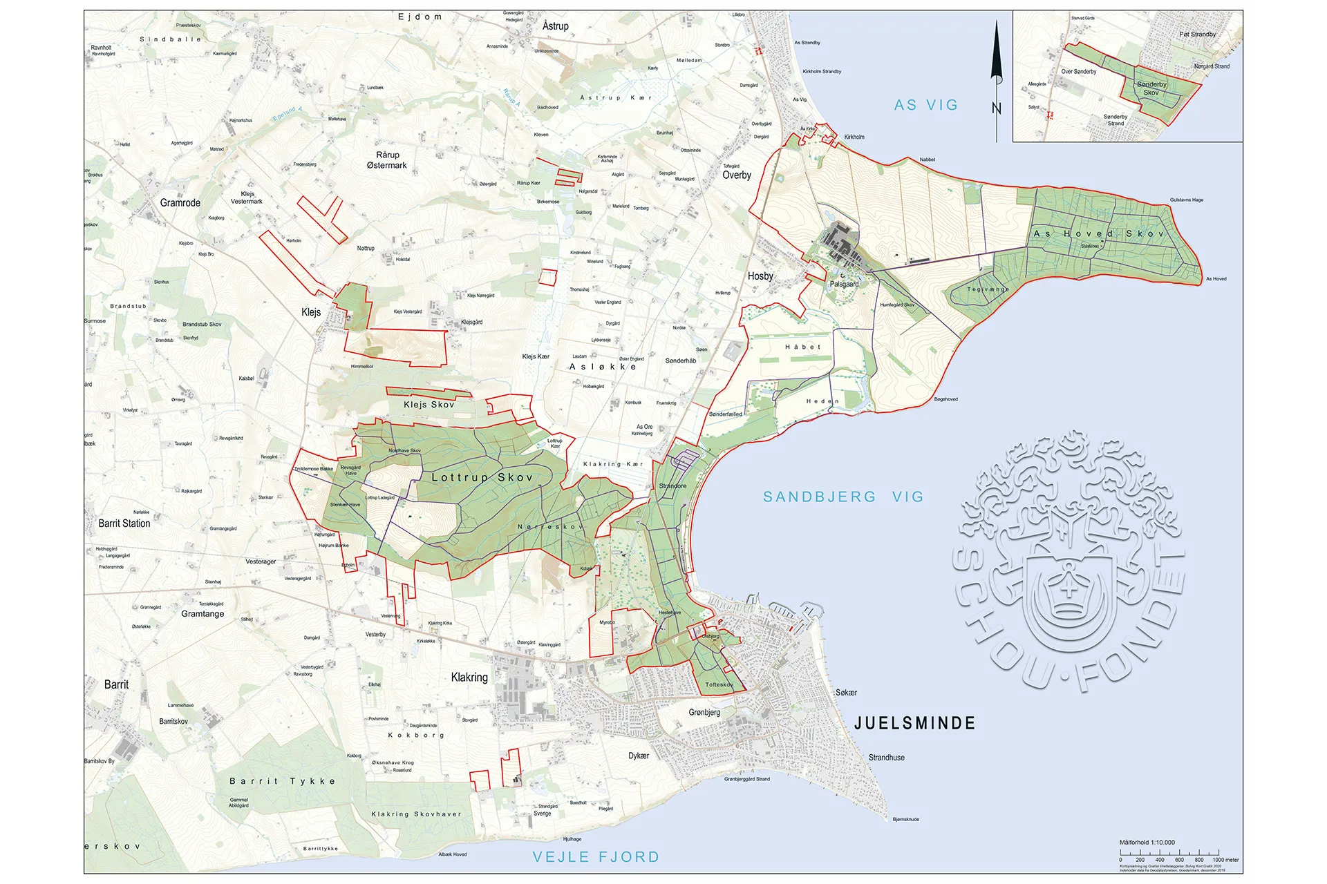
The map shows the area around Palsgaard. The red markings are areas that today belong to the estate.
See more here

People in Palsgaard's history

The Schou family at Palsgaard

Palsgaard Castle through time

What you can experience in Palsgaard Castle Park